
0 litres of clean water abstracted.
Since July 2022, the Nkairuwani water system has been running, and counting. This live estimate grows every second the borehole pumps.
Nkairuwani.
Nkairowauni Primary School depended on a water pan 1 km away which dried up during the dry season and was often polluted by livestock. Children walked long distances to fetch water often arriving late or missing lessons. The community faced similar challenges with no improved water source nearby. The school had inadequate toilets with damaged infrastructure and no provision for menstrual and hand hygiene. Less than 5% of the households in the villages surrounding the schools had toilets and none of the households had provisions for handwashing.
Water Interventions
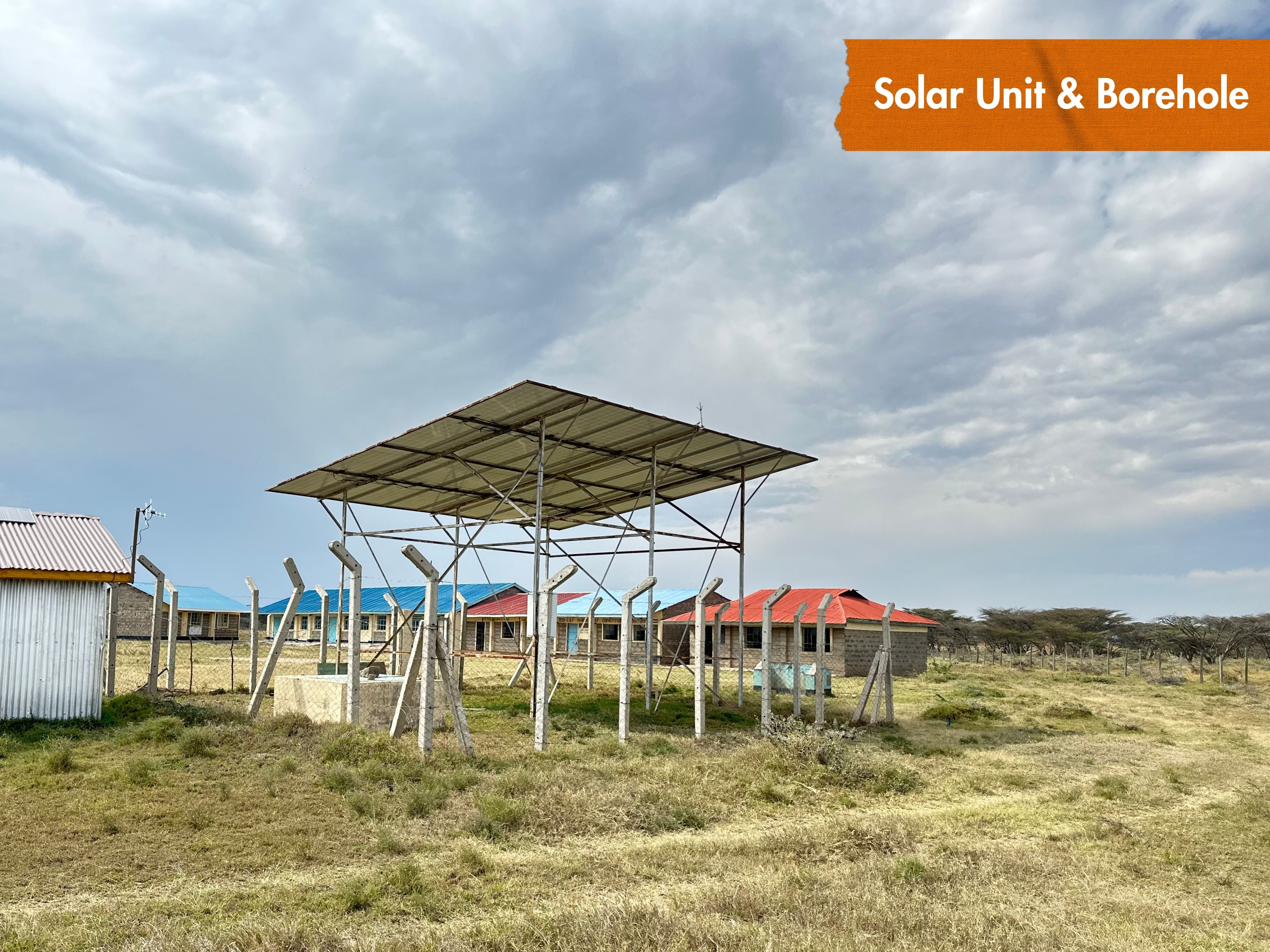
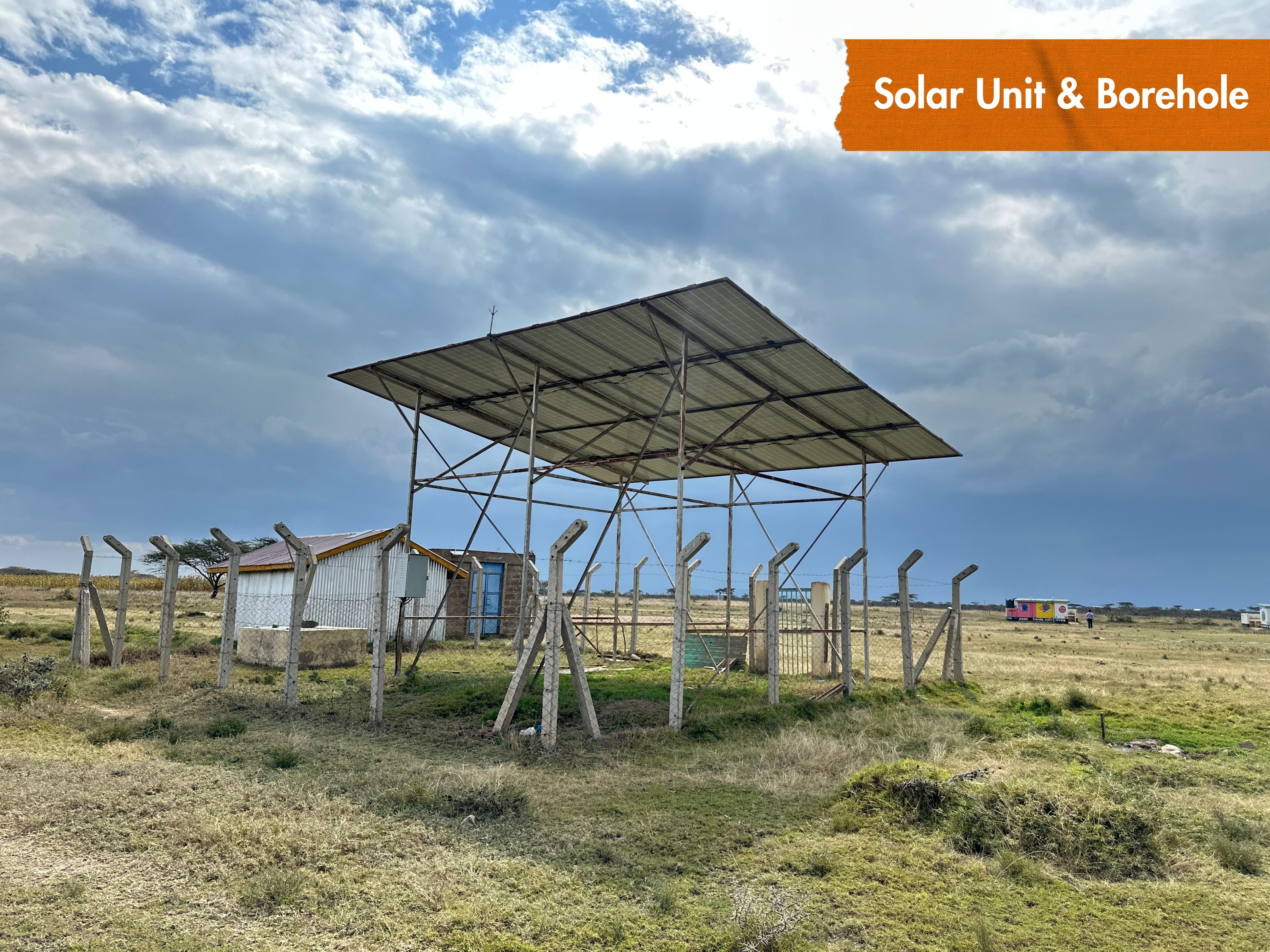
- Borehole Drilling
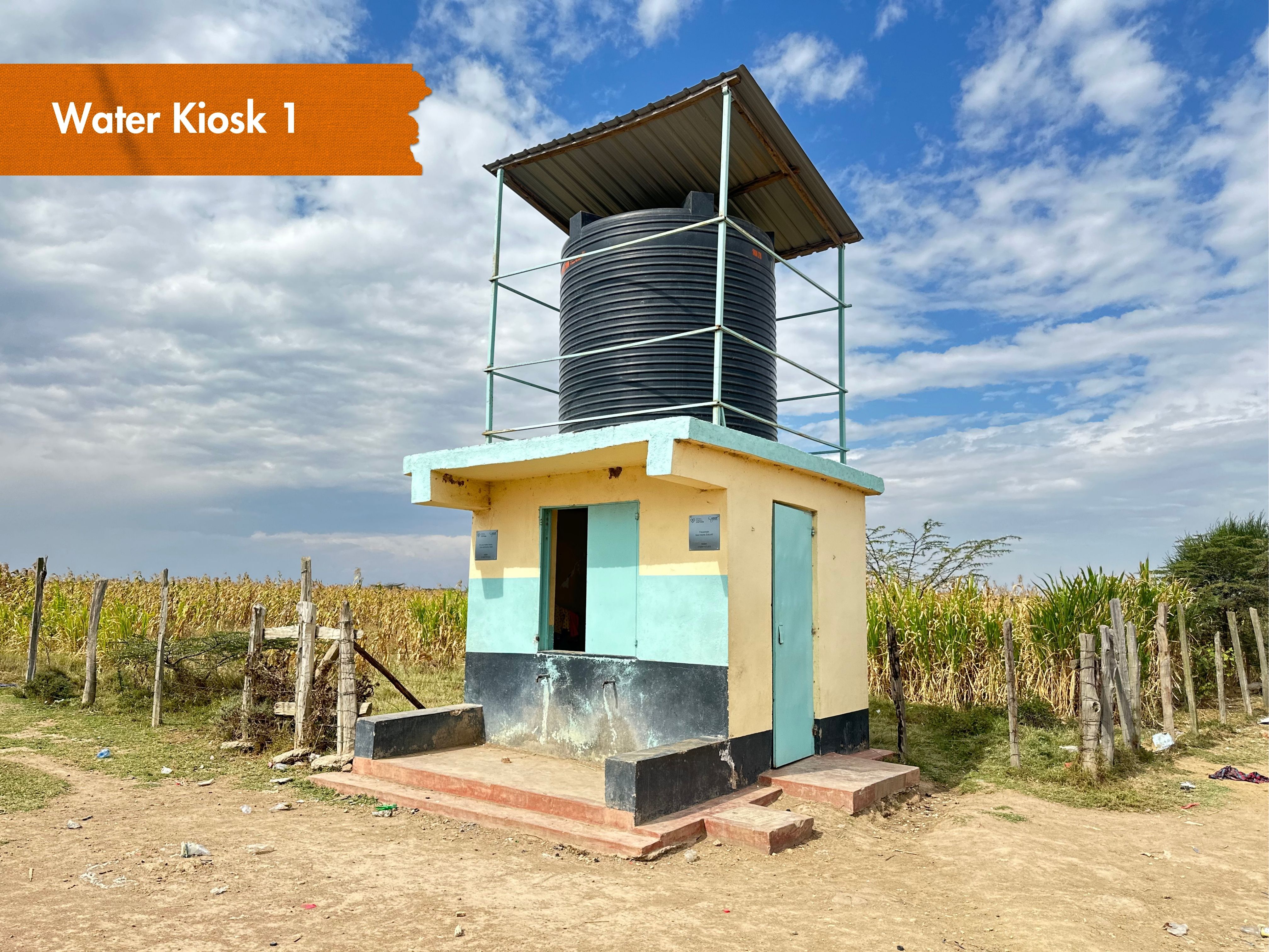
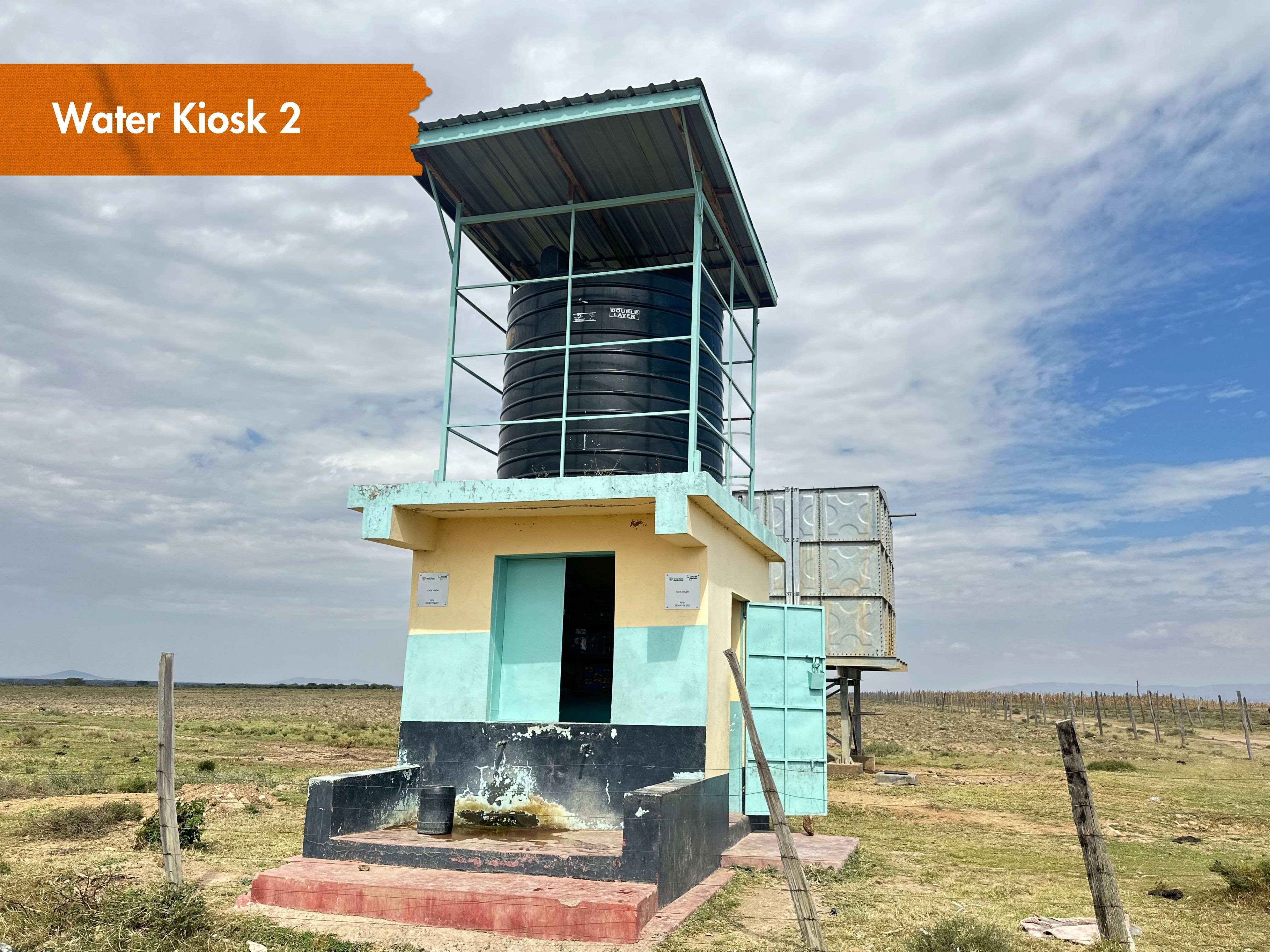
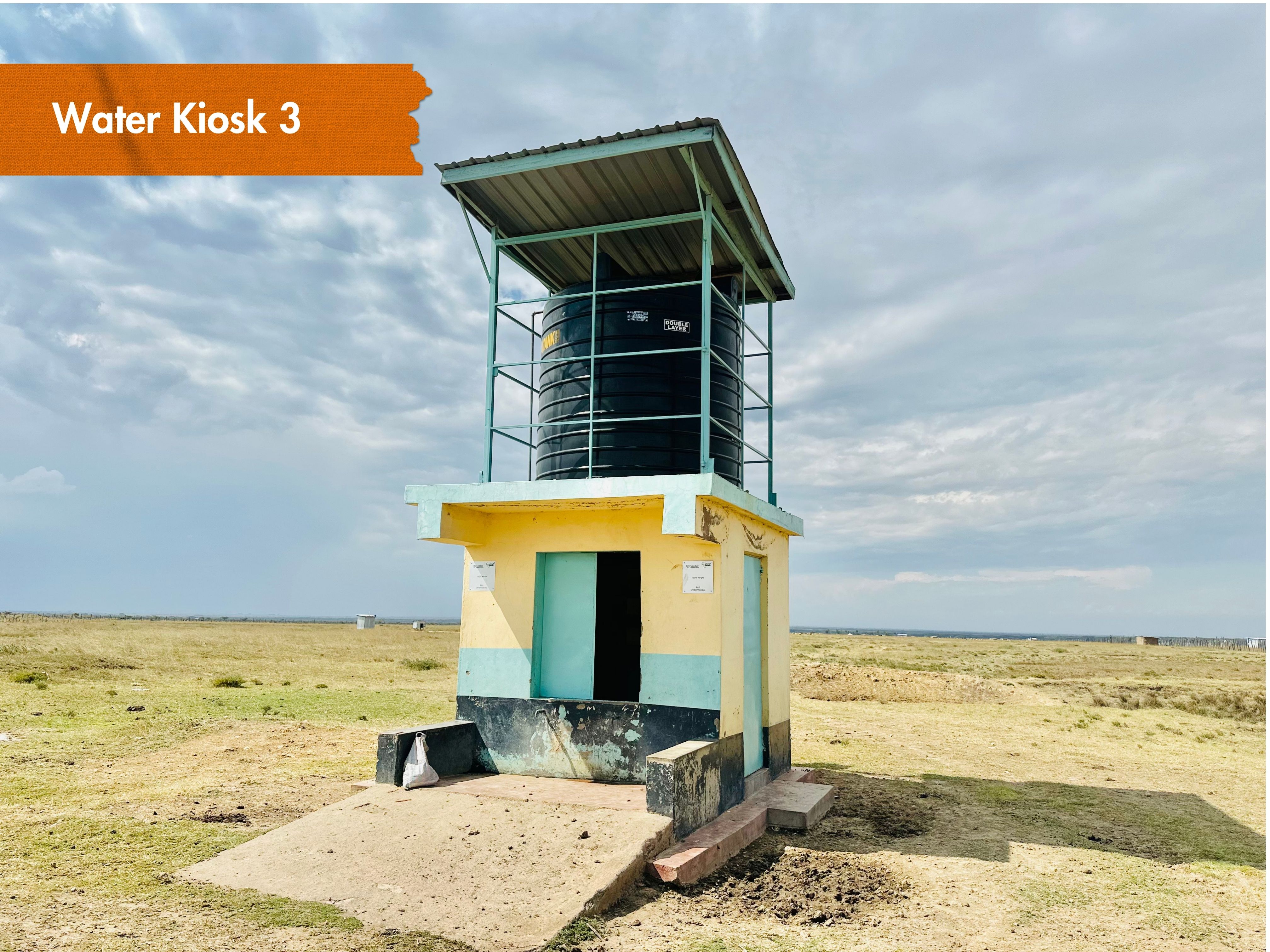
- Water kiosk built & equipped (3)
- Pipeline extended (5.5 km)
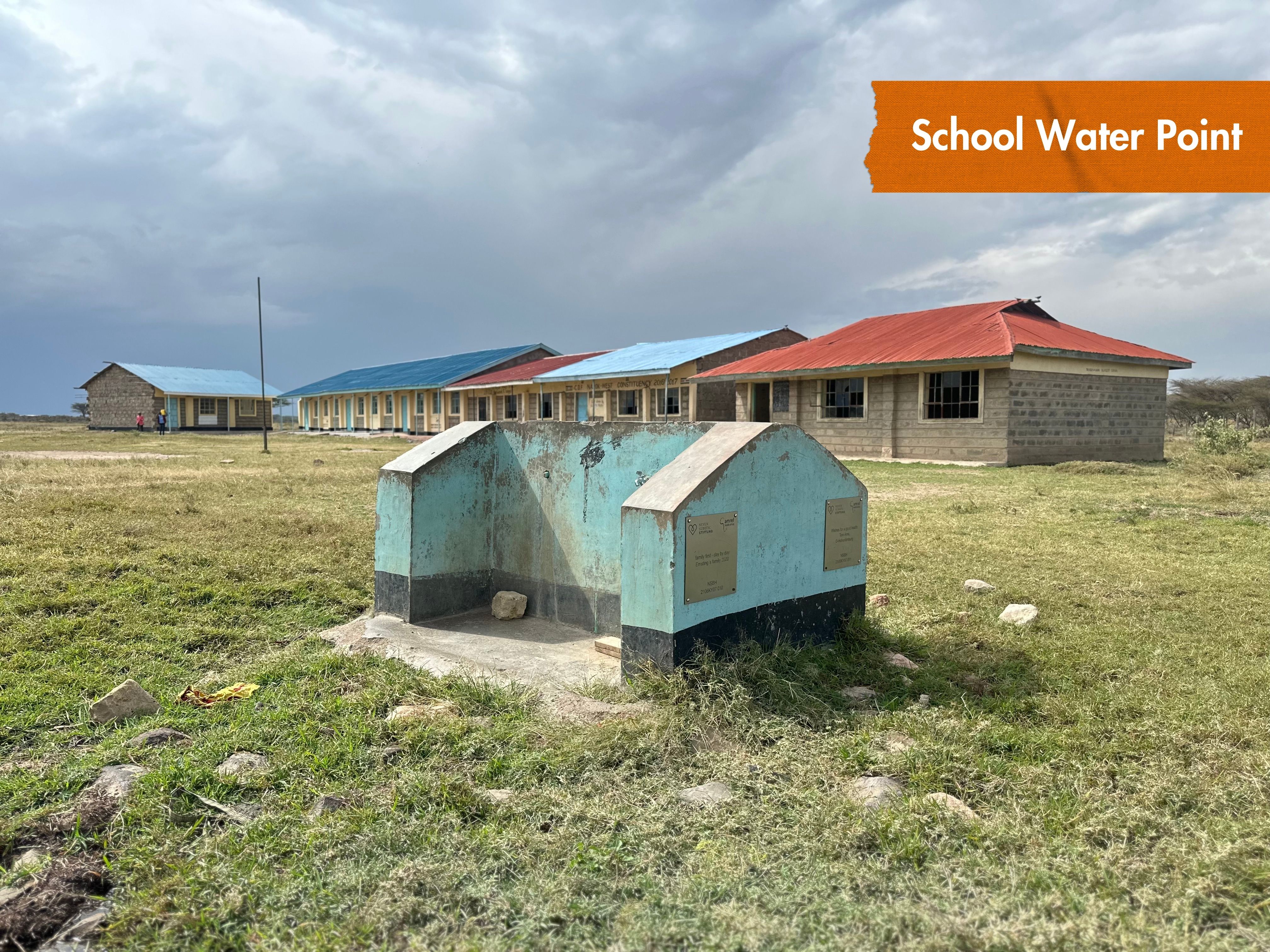
- School water point constructed (4 drinking stations)
Sanitation Interventions
- Nkairowauni A, Nkairowauni B, Nkairowauni C, Olmodioi, Noonkojok, Oltarara A, Oltarara B, Embulbul, Mitimoja, Lekanka B
- 10 villages declared ODF
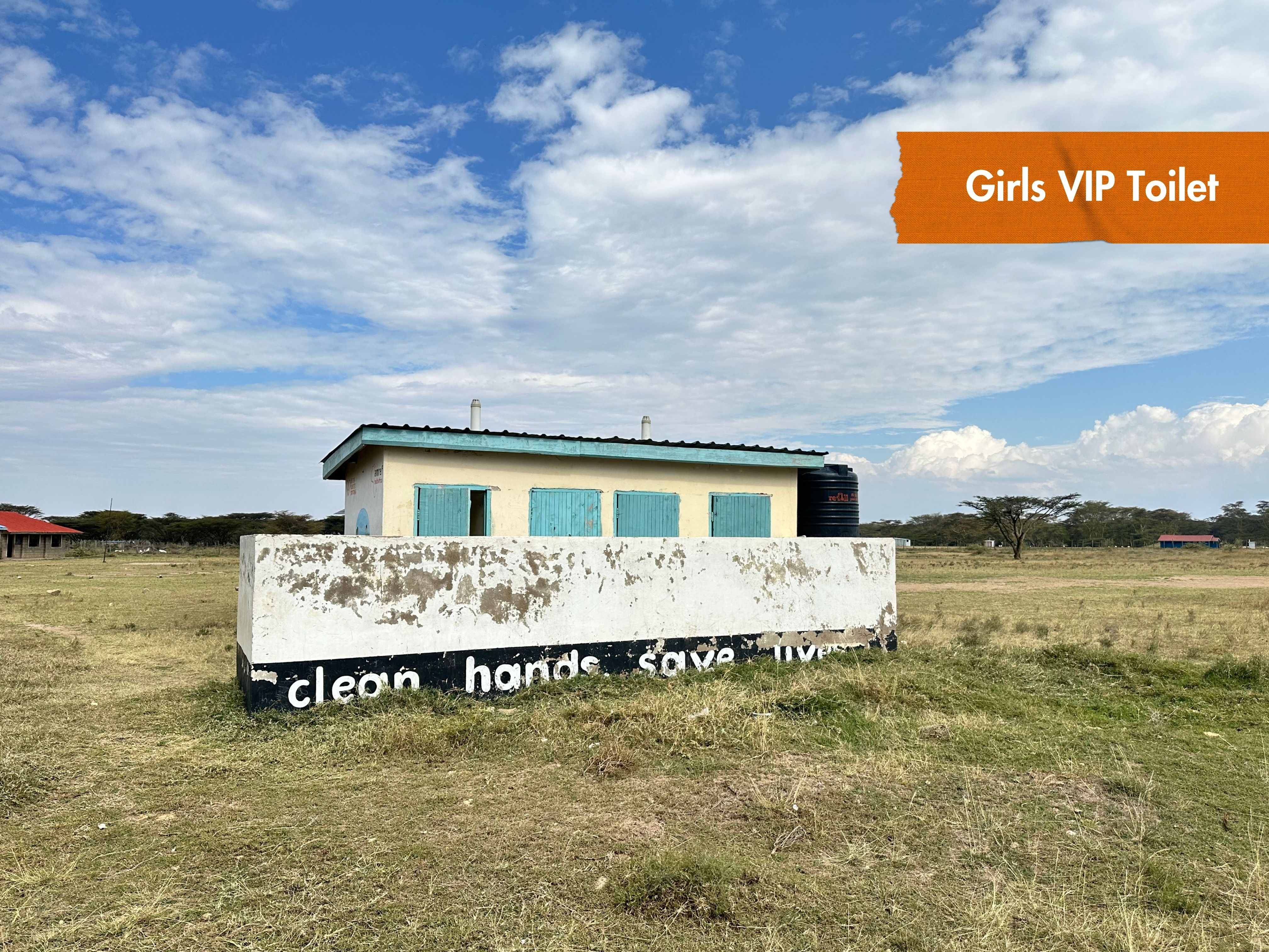
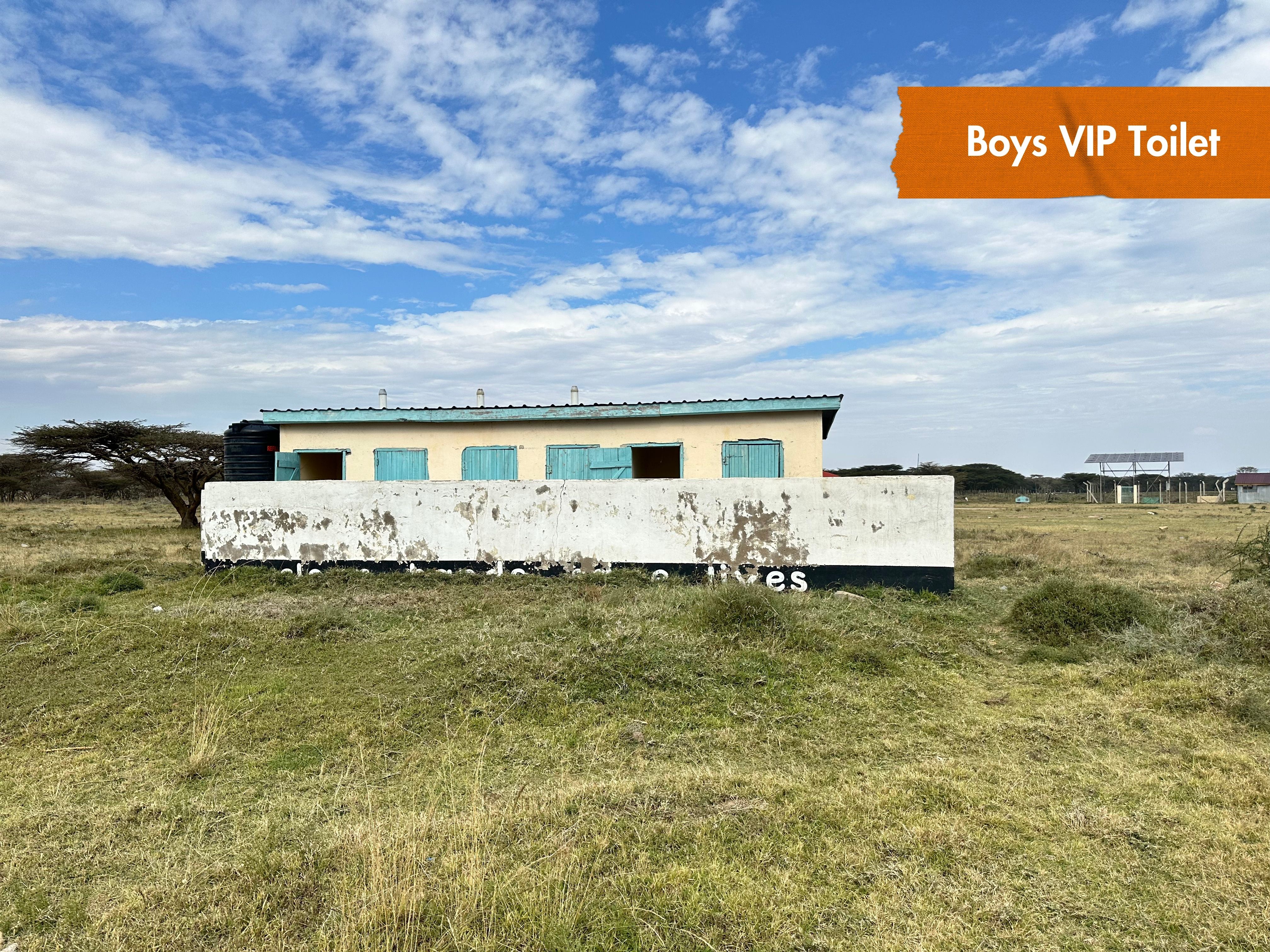
- 8 toilets constructed in schools
- 3 bathrooms constructed in schools
- 16 handwashing stations equipped in schools
Explore the site.
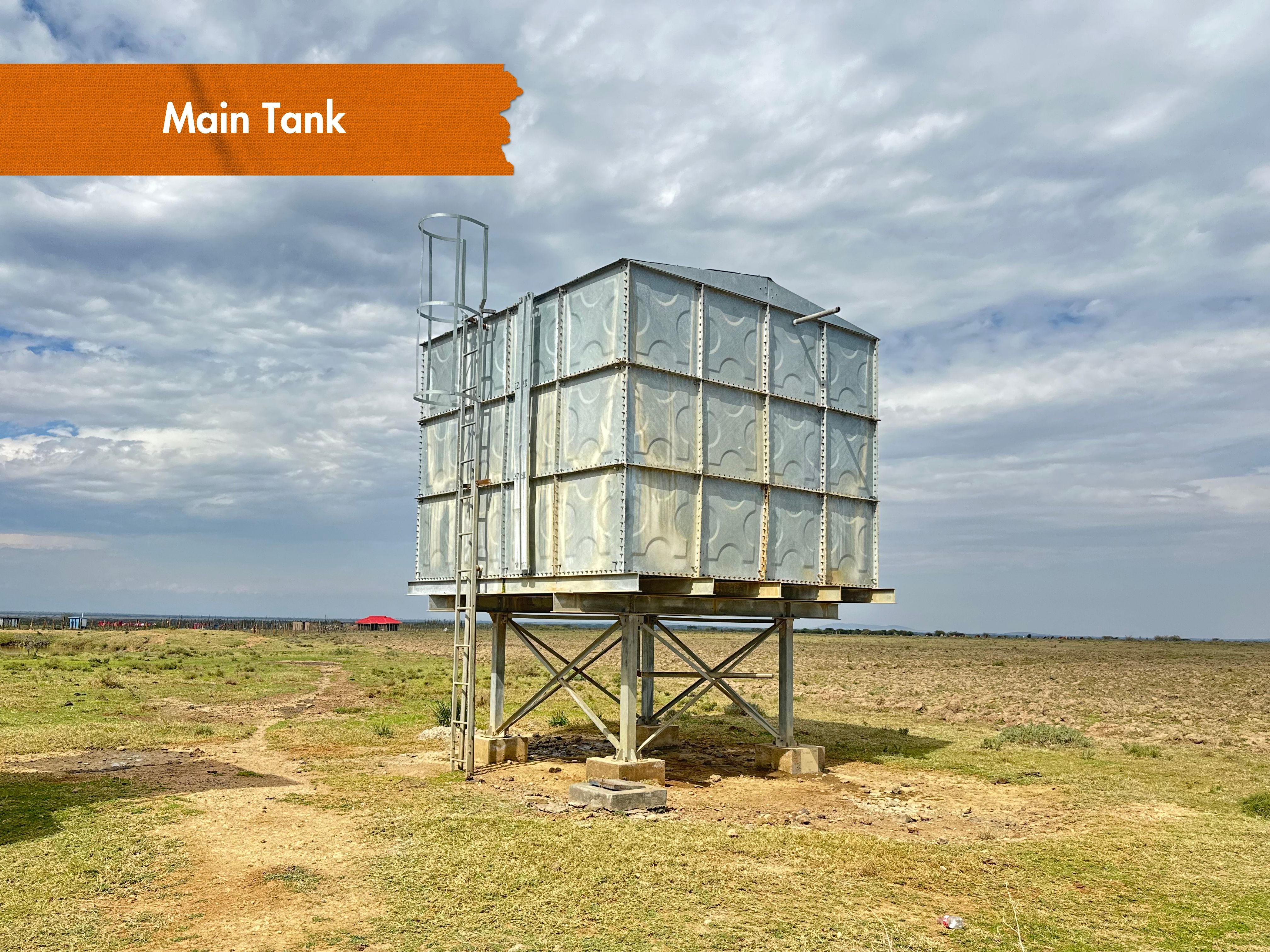
Pan and zoom the map, then click any point to reveal details about the infrastructure on the ground.
Legend
Click on points on the map to reveal details.
Reports & documents.
The technical and completion reports behind this site, available to download.
Nkairuwani topographical survey report.
Topographical survey report for the water project in Nkairuwani.
Download
Nkairuwani infrastructure designs.
Infrastructure designs for the water project in Nkairuwani.
Download
Nkairuwani infrastructure designs.
Infrastructure designs for the water project in Nkairuwani.
Download